Your Essential Guide to Getting Around London Like a Local
From the Underground to e-bikes, here's how to navigate the capital efficiently and discover hidden gems along the way.
3 min read
Updated 1 h ago
From the Underground to e-bikes, here's how to navigate the capital efficiently and discover hidden gems along the way.
3 min read
Updated 1 h ago
London's transport network is vast, but mastering it unlocks the city's best-kept secrets. Whether you're a newly arrived resident or simply ready to venture beyond your usual commute, understanding your options transforms how you experience the capital.
The Tube remains the backbone of London travel, with 11 lines crisscrossing 270 stations. An Oyster card or contactless payment costs around £1.75 per journey in zones 1-2 during off-peak hours—significantly cheaper than taxis. Peak-time commutes between 06:30-09:30 and 17:00-19:00 weekdays are predictably crowded; the quieter Central, Circle and Northern lines often offer marginally better conditions than the perpetually rammed District line.
But the Underground tells only half the story. London's bus network—728 routes covering areas the Tube doesn't reach—costs the same per journey and offers ground-level views of neighbourhoods like Stoke Newington, Brixton and Greenwich. The 38 bus from Victoria through central London and up to Clapton is a favourite among locals seeking an affordable sightseeing route.
For shorter distances, cycling has transformed commuting. London's Santander Cycles scheme provides 12,000 bikes across 850 docking stations, with membership at £100 annually for unlimited journeys under 45 minutes. Protected cycle lanes now link King's Cross to the City, and the Regent's Canal towpath offers a car-free route from Paddington to Limehouse—perfect for leisurely weekend exploration.
E-scooters and e-bikes are increasingly popular. Operators like Voi and Lime charge around 25p per minute; many residents find them ideal for that awkward 1-2 mile journey where the Underground feels overkill. Licensed e-scooter rentals operate legally in designated areas, though ownership remains restricted.
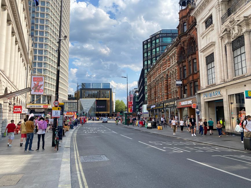
Walking, however, remains underrated. London's 300+ miles of walkable streets reveal everything from the Georgian architecture of Spitalfields to the street art of Shoreditch. The Thames Path stretches 28 miles; even a short section between Westminster and Tower Bridge showcases the city's soul.
For longer journeys, National Rail services connect outer London efficiently, while Overground lines—recently extended under TfL control—bypass central London entirely, making cross-city journeys faster. The Elizabeth Line, opened fully in 2022, revolutionised east-west travel, cutting journey times dramatically between Reading and Shenfield.
Planning ahead matters: use TfL Journey Planner before setting out, check for weekend closures and service disruptions, and download the Citymapper app for real-time updates. London's transport ecosystem rewards exploration; spend a weekend mapping unfamiliar routes, and you'll discover neighbourhoods that countless guidebooks miss.
This article was compiled by AI from the sources linked above and screened before publishing. See our editorial standards.
About this article
Published by The Daily London
Spread the word
Daily brief
Free, in your inbox before 7am. Weekdays.
The Daily Network — independent news worldwide